-
current
recommendations- Liefdefjord
New page dedicated to one of Spitsbergen's most beautiful fjords. Background information and many photos.
- New Spitsbergen guidebook
The new edition of my Spitsbergen guidebook is out and available now!
- Liefdefjord
New page dedicated to one of Spitsbergen's most beautiful fjords. Background information and many photos.
Page Structure
-
Spitsbergen-News
- Select Month
- April 2025
- March 2025
- February 2025
- January 2025
- December 2024
- November 2024
- October 2024
- September 2024
- August 2024
- July 2024
- June 2024
- May 2024
- April 2024
- March 2024
- February 2024
- January 2024
- December 2023
- November 2023
- October 2023
- September 2023
- August 2023
- July 2023
- June 2023
- May 2023
- April 2023
- March 2023
- February 2023
- January 2023
- December 2022
- November 2022
- October 2022
- September 2022
- August 2022
- July 2022
- June 2022
- May 2022
- April 2022
- March 2022
- February 2022
- January 2022
- December 2021
- November 2021
- October 2021
- September 2021
- August 2021
- July 2021
- June 2021
- May 2021
- April 2021
- March 2021
- February 2021
- January 2021
- December 2020
- November 2020
- October 2020
- September 2020
- August 2020
- July 2020
- June 2020
- May 2020
- April 2020
- March 2020
- February 2020
- January 2020
- December 2019
- November 2019
- October 2019
- September 2019
- August 2019
- July 2019
- June 2019
- May 2019
- April 2019
- March 2019
- February 2019
- January 2019
- December 2018
- November 2018
- October 2018
- September 2018
- August 2018
- July 2018
- June 2018
- May 2018
- April 2018
- March 2018
- February 2018
- January 2018
- December 2017
- November 2017
- October 2017
- September 2017
- August 2017
- July 2017
- June 2017
- May 2017
- April 2017
- March 2017
- February 2017
- January 2017
- December 2016
- November 2016
- October 2016
- September 2016
- August 2016
- July 2016
- June 2016
- May 2016
- April 2016
- March 2016
- February 2016
- January 2016
- December 2015
- November 2015
- October 2015
- September 2015
- August 2015
- July 2015
- June 2015
- May 2015
- April 2015
- March 2015
- February 2015
- January 2015
- December 2014
- November 2014
- October 2014
- September 2014
- August 2014
- July 2014
- June 2014
- May 2014
- April 2014
- March 2014
- February 2014
- January 2014
- December 2013
- November 2013
- October 2013
- September 2013
- August 2013
- July 2013
- June 2013
- May 2013
- April 2013
- March 2013
- February 2013
- January 2013
- December 2012
- November 2012
- October 2012
- September 2012
- August 2012
- July 2012
- June 2012
- May 2012
- April 2012
- March 2012
- February 2012
- January 2012
- December 2011
- November 2011
- October 2011
- September 2011
- August 2011
- May 2011
- April 2011
- March 2011
- February 2011
- January 2011
- December 2010
- November 2010
- September 2010
- August 2010
- July 2010
- June 2010
- May 2010
- April 2010
- March 2010
- February 2010
- November 2009
- October 2009
- August 2009
- July 2009
- June 2009
- May 2009
- April 2009
- March 2009
- February 2009
- January 2009
- December 2008
- November 2008
- October 2008
- August 2008
- July 2008
- June 2008
- May 2008
- April 2008
- March 2008
- February 2008
- April 2000
- Select Month
-
weather information

| Guidebook: Spitsbergen-Svalbard |
Home → Spitsbergen information → Islands: Spitsbergen & Co. → Isfjord → Borebukta and Erdmannflya (north)
Borebukta and Erdmannflya (northern side)
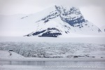
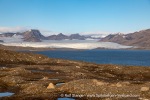
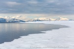
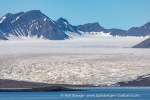
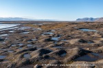
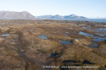
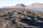
Borebreen, Nansenbreen and Tundraodden: glacier and tundra landscape in Isfjord

Borebukta and Erdmannflya are located on the north side of Isfjord.
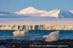
Borebukta actually consists of two bays, separated by a mountain ridge and each with a glacier with a calving front. However, these two bays do not have individual names, they are simply called Borebukta together, after Boreas, the ancient Greek god of the cold northen wind. That suits the area well.
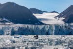
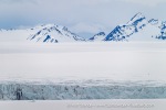
Like most glaciers in Svalbard (and worldwide), Nansenbreen in southern Borebukta is currently receding and therefore doesn’t stand out too much in comparison. Its neighbour to the north, Borebreen, is quite different. It has advanced considerably in recent years (2024, 2025).
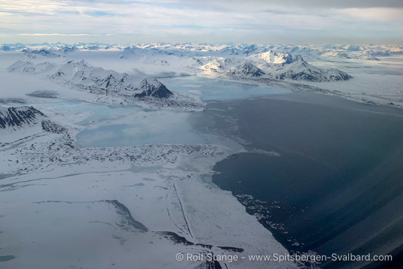
View over Erdmannflya (foreground left side) and Borebukta
from the scheduled flight to Longyearbyen, late May.
The Ymerbukta-Erdmannflya page already has a lot of information about Erdmannflya, the vast tundra plain that borders Borebukta to the south. But the northern part of Erdmannflya, Tundraodden and surroundings, is also very exciting and fits well on this page due to its position next to Borebukta, so I include it here.
There is a separate page dedicated to Bohemanflya, the large tundra plain adjoining Borebukta to the east.
Borebukta and the surrounding area are located in the Northern Isfjord National Park.
Geology
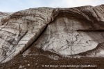
Sediments from the Mesozoic era can be found almost all around Borebukta. These sediments are from the Upper Triassic and Lower Jurassic periods, i.e. deposits around 230 million years old. Specifically, these are sandstones and siltstones that were deposited in shelf sea of medium depth, which you can imagine to be similar to today’s North Sea. Also in terms of the climate that prevailed at that time, this will not be too far off.
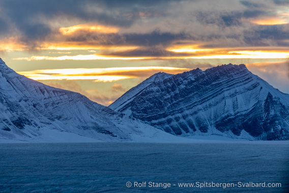
Layers in Triassic bedrock at Borebreen.
But there were differences. Back then there were no ships and no oil and gas platforms, but shells, ammonites, fish and marine dinosaurs such as plesio-, plio- and ichthyosaurs. Remains of these animals can in principle be found in these layers, although you will certainly not come across dinosaur bones on a short walk along the beach, unfortunately. But it is not unrealistic to find imprints of ammonites and shells (it is forbidden to take them with you, as it is a National Park).
At Tundraodden you will find quite striking, coarse, quartz-rich sandstones. These are much younger, dating back to the Lower Cretaceous period. At 110-120 million years old, they are only about half as old as the Triassic to the north. This sandstone was also deposited in the sea, but in an area closer to the coast, where rivers and beaches could deliver sand.
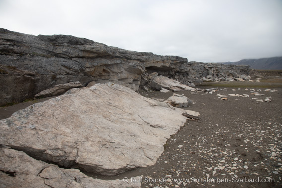
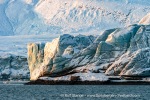
Lower Cretaceous sandstone at Tundraodden.
Landscape
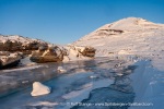
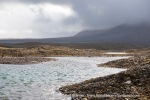
All the shorelines of the Borebukta are covered with extensive moraine landscapes, which clearly show the extent to which the glaciers have retreated since the 18th/19th century (‘Little Ice Age’). The trend towards retreat has increased significantly since the 1990s due to current climate change.
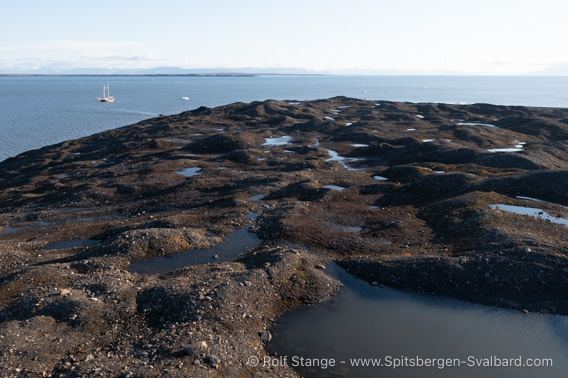
Wide moraine landscape at Tundraodden.
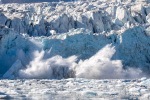
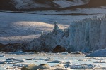
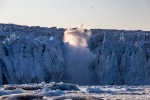
Borebreen advanced considerably in 2014 and 2015, by at least two kilometres. This does not mean that climate change has been cancelled: this is a behaviour known as a ‘glacial surge’. In this process, the glacier slowly builds up an excess of mass in the upper area (accumulation zone) over decades, as it does not flow fast enough to continuously discharge the accumulating ice masses. At some point, the increasing weight causes the entire glacier to slip and start moving. It can then increase its speed many times over over a shorter period of time, usually one to two years, and can reach over 10 metres per day! A surging glacier accordingly has a very wild and jagged surface and, when it reaches the shore, it has a very active calving front.
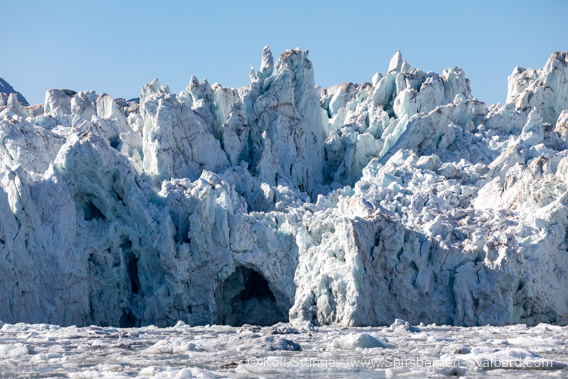
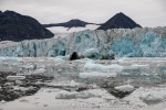
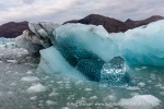
The calving glacier front of Borebreen (2024).
In 2023, we made a landing on a small island about 600-700 metres from the Borebreen glacier front. When we got there again in 2024, with the idea of visiting the islet again, it had disappeared under the glacier. The glacier had actually advanced a good distance beyond it into Borebukta!
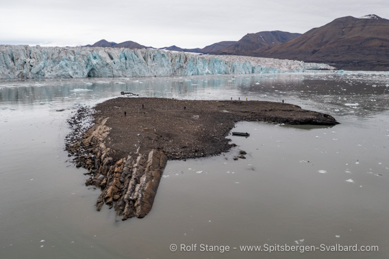
Little island near Borebreen (2023). In 2024, the glacier had advanced beyond the island.
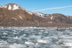
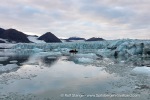
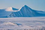
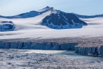
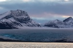
Borebreen is clearly the main scenic attraction in Borebukta. It is also framed by striking mountains.
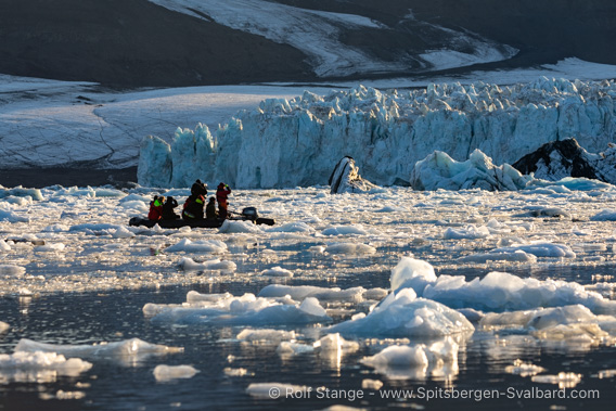
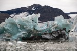
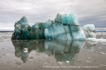
Enjoying a cruise in ice-filled waters near Borebreen.
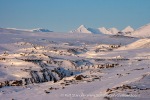
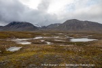
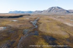
The extensive, generally flat tundra plains that extend on both sides are striking: Erdmannflya lies to the south of Borebukta with Tundraodden at its northern tip, while Bohemanflya stretches to the north. As mentioned, both are bordered by huge moraine landscapes along the shores of Borebukta. The otherwise rather flat, wide-open landscape of these plains is in itself a striking, interesting landscape element, where you can find many fascinating small features: Ice wedges and stone rings, uplifted beach ridges as evidence of post-glacial land uplift, small lakes, streams and wetlands, …
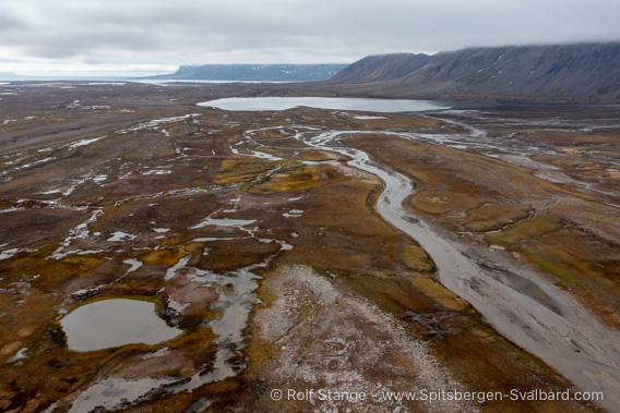
Wide-open tundra with small rivers, lakes and wetlands on Erdmannflya.
Flora and fauna
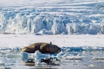
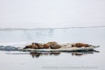
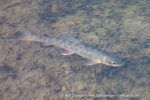
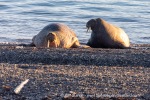
In principle, you can see all the wildlife that roam Spitsbergen’s fjords in Borebukta: Sometimes a few walruses lie somewhere on the beach, perhaps a polar bear roams somewhere over the moraine hills on the shore or over the fjord ice when the bay is still frozen over early in the summer. But these animals roam across vast landscapes, sometimes they are there, sometimes they are somewhere else. Seals often swim in the water and sometimes a bearded seal or a ringed seal lies on a piece of ice.
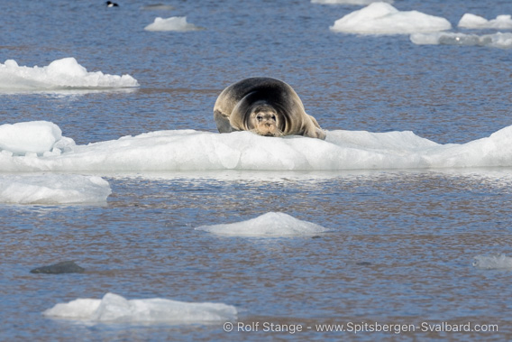
Bearded seal in Borebukta.
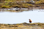
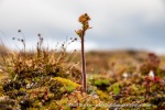
In the tundra of Erdmannflya and Bohemanflya, the animals typical of this landscape are of course around. In addition to numerous reindeer and the odd arctic fox, these include a wide variety of birds, including rather rare species such as king eiders and grey phalaropes, and of course the ‘usual suspects’ of the tundra such as various geese, purple sandpipers and others.
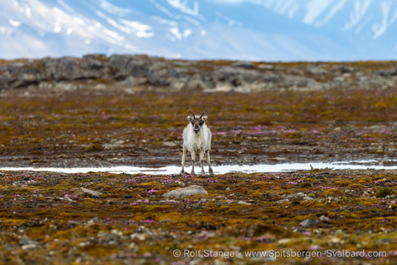
Reindeer on Erdmannflya.
On windless summer days, you can sometimes see (and feel) the odd swarm of mosquitoes in the tundra areas.
History
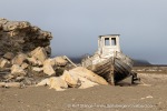
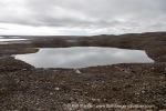
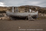
This section can remain short, not much has happened here. At some point in the not too distant past, probably in the 1970s, someone once put a small cutter on dry land on Tundraodden to have a kind of hut; Straumsjøen, a lake around three kilometres further southwest, was and is a popular body of water among locals for angling and net fishing for Arctic char.
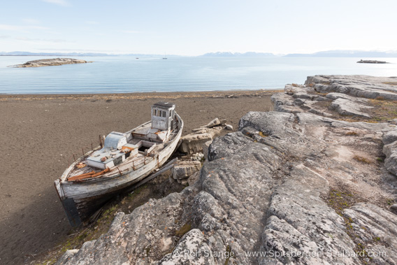
Old ship wreck on the shore of Tundraodden.
Photo gallery Borebukta: Borebreen
First, some pictures of the icy main attraction in Borebukta, the mighty Borebreen.
- gallery anchor link: #gallery_3503
Click on thumbnail to open an enlarged version of the specific photo.
Photo gallery Borebukta: Nansenbreen
The less active Nansenbreen and surroundings.
- gallery anchor link: #gallery_3514
Click on thumbnail to open an enlarged version of the specific photo.
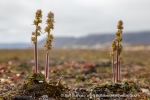
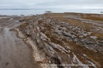
Photo gallery Erdmannflya: Tundraodden
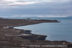
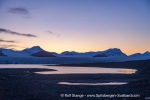
The beautiful tundra landscape at Tundraodden and surroundings on the northern side of Erdmannflya.
- gallery anchor link: #gallery_3517
Click on thumbnail to open an enlarged version of the specific photo.
Photo gallery: Borebukta
And finally a little collection of miscellaneous photos from Borebukta.
- gallery anchor link: #gallery_3511
Click on thumbnail to open an enlarged version of the specific photo.
BOOKS, CALENDAR, POSTCARDS AND MORE
This and other publishing products of the Spitsbergen publishing house in the Spitsbergen-Shop.
last modification: 2025-02-10 ·
copyright: Rolf Stange


